

HOLIDAY PACKAGES
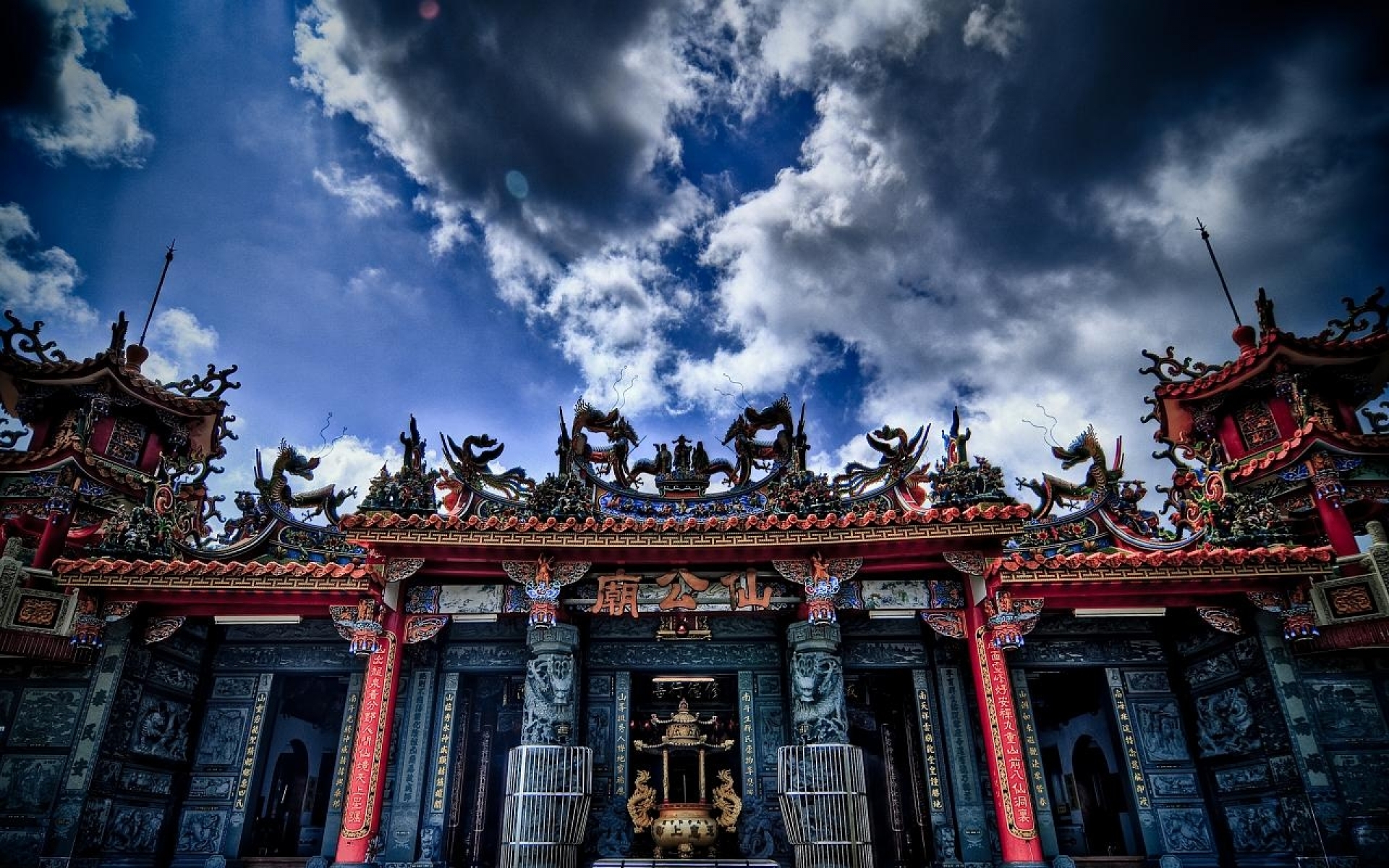
5D4N YANGON / BAGO / KYAIKHTIYO 仰光/勃固/洁梯优
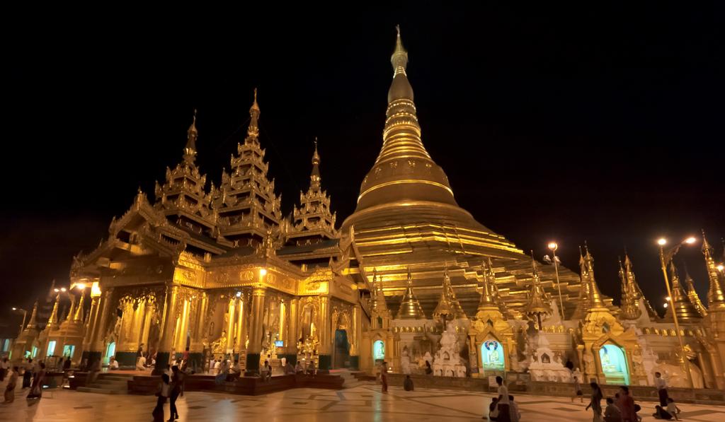
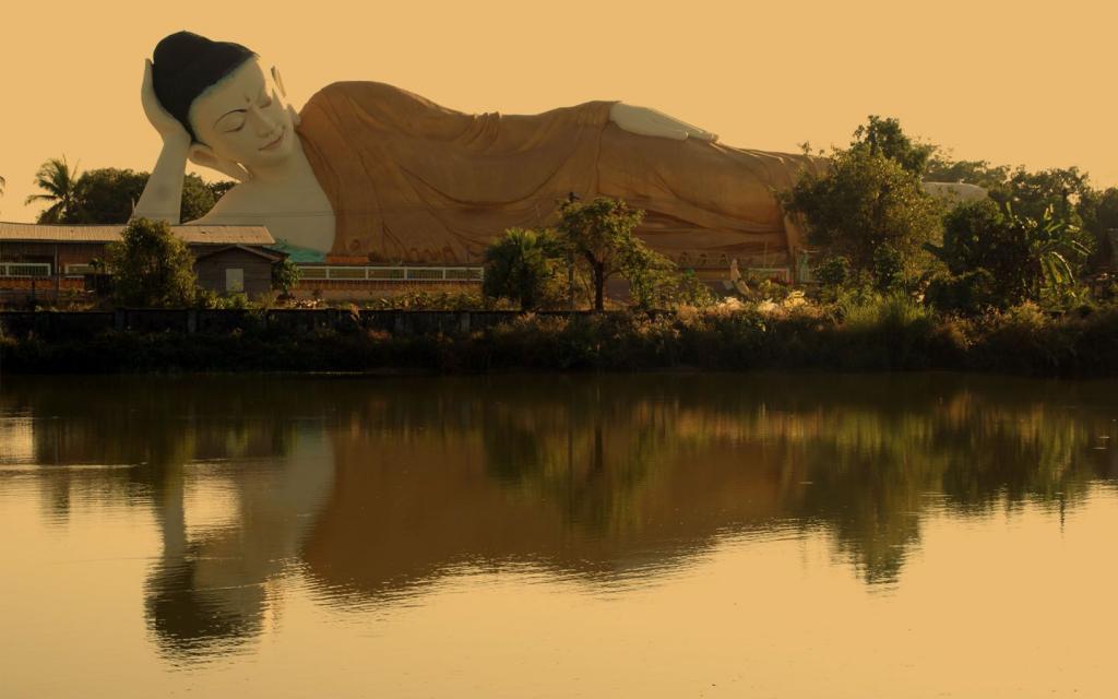
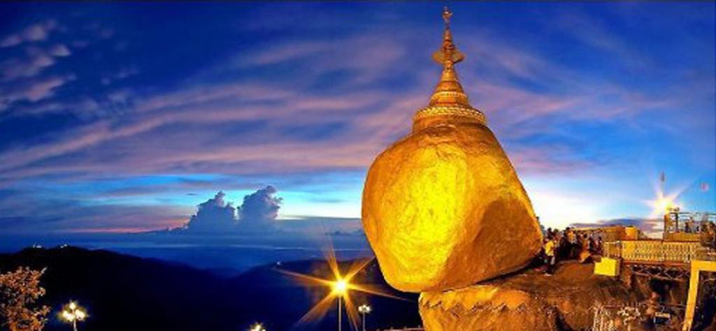
Yangon also known as Rangoon, literally: "End of Strife") is a former capital of Burma (Myanmar) and the capital of Yangon Region. Although the military government has officially relocated the capital to Naypyidawsince March 2006, Yangon, with a population of over five million, continues to be the country's largest city and the most important commercial centre. Although Yangon's infrastructure is undeveloped compared to those of other major cities in Southeast Asia, it has the largest number of colonial buildings in the region today. While many high-rise residential and commercial buildings have been constructed or renovated throughout downtown and Greater Yangon in the past two decades, most satellite towns that ring the city continue to be deeply impoverished.
Thanlyin is situated on the southern bank of the Bago River at its confluence with the Yangon River. To the south of Thanlyin lies a ridge named UtaringaKon that is locally known as Shin Mwe Nun Kon. TheKyaikKhauk Pagoda stands on this ridge. Formerly called Syriam, the colonial town was built by the British for it's port and petroleum refinery plant. It is a suburban town right a few miles away from Yangon, across the 1.5 mile-long bridge. It is a half-an-hour's drive by car or by train.
仰光又称仰光,从字面上看: “结束争斗” )是缅甸的前首都仰光和地区的首府。尽管军政府已正式迁至首都Naypyidawsince 2006年3月,仰光,拥有超过500万人口,仍然是全国最大的城市和最重要的商业中心。虽然比起那些其他主要城市在东南亚仰光的基础设施不发达,它拥有最多的殖民建筑在该地区今天。虽然许多高层住宅和商业楼宇,在过去的二十年中已建成或翻新整个市区及大仰光,最卫星城的环市继续深入贫困。
丹林坐落在勃固河的南岸在它的合流与仰光河。到丹林南部躺着一个名为UtaringaKon脊被当地人称为新MWE嫩杆。该KyaikKhauk塔矗立在这山脊。以前称为Syriam ,殖民小镇是由英国人建造的为它的港口和石油精炼厂。这是一个郊区镇右几英里远从仰光,横跨1.5英里长的桥梁。这是一个半一个小时的车程,乘汽车或火车。
| NO | DEPARTURE DATE | ACTION |
|---|---|---|
| 1 | Nov 25, Dec 09, 16 | VIEW DETAILS |
| 2 | Dec 23 | VIEW DETAILS |
| 3 | Sep 20 | VIEW DETAILS |
| 4 | Sep 23 | VIEW DETAILS |
Rate this package now
 HOLIDAY PACKAGE SEARCH
  HOTEL SEARCH

